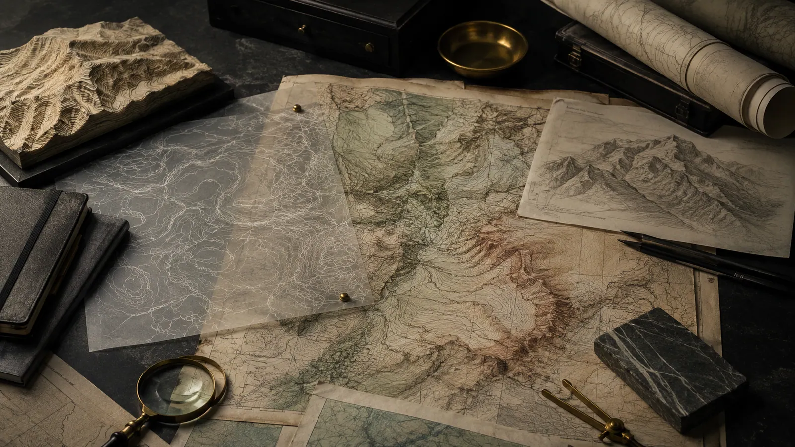
Atlas is our attempt to build a map that explains rather than merely directs. Most mapping answers the question "how do I get there". Ours is being built to answer "what is this" — the geology under it, the history on top of it, and how firmly either is actually known.
Places are labelled by the names the people there use. Terrain, named peaks and lakes are drawn from open survey data at real resolution. You can ask Atlas a question in ordinary language and it will both answer you and move the map, rather than making you translate your question into coordinates first.
Why "planetary" is not marketing
We are starting with Earth because it is the world we can check our answers against. The architecture underneath — named features, layered evidence, provenance carried with every claim — is being written to hold other bodies too: the Moon and Mars first, where the open survey data is genuinely good, and outward from there as the science allows.
A planetary atlas is a decades-long undertaking. Earth is live today; the rest is honestly ahead of us, and we would rather say that plainly than imply otherwise.
Open Serogi Atlas